We are happy to create an overview image based on a photograph taken with a drone, for you. It is a good solution for displaying an entire area or getting a better overview of, for example, a plot of land.
Overview image
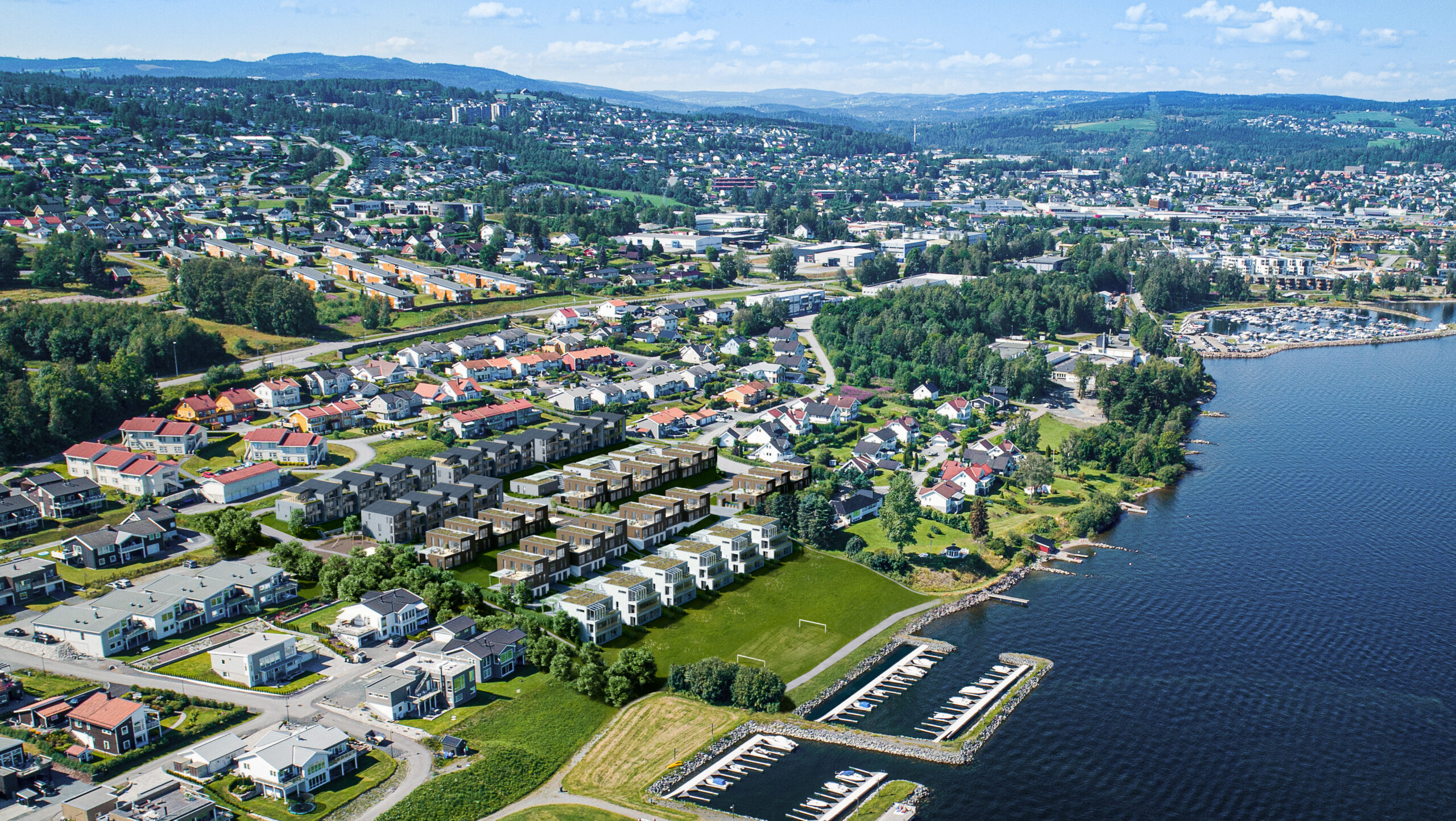
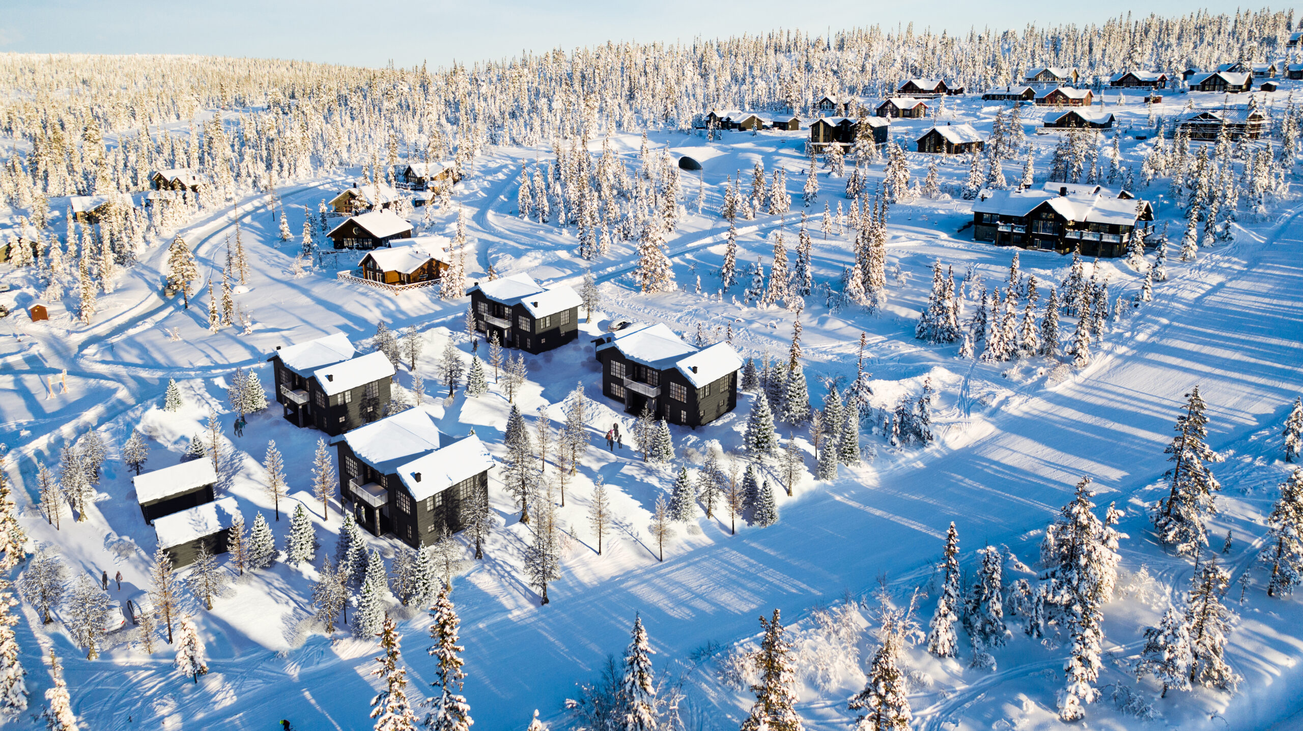
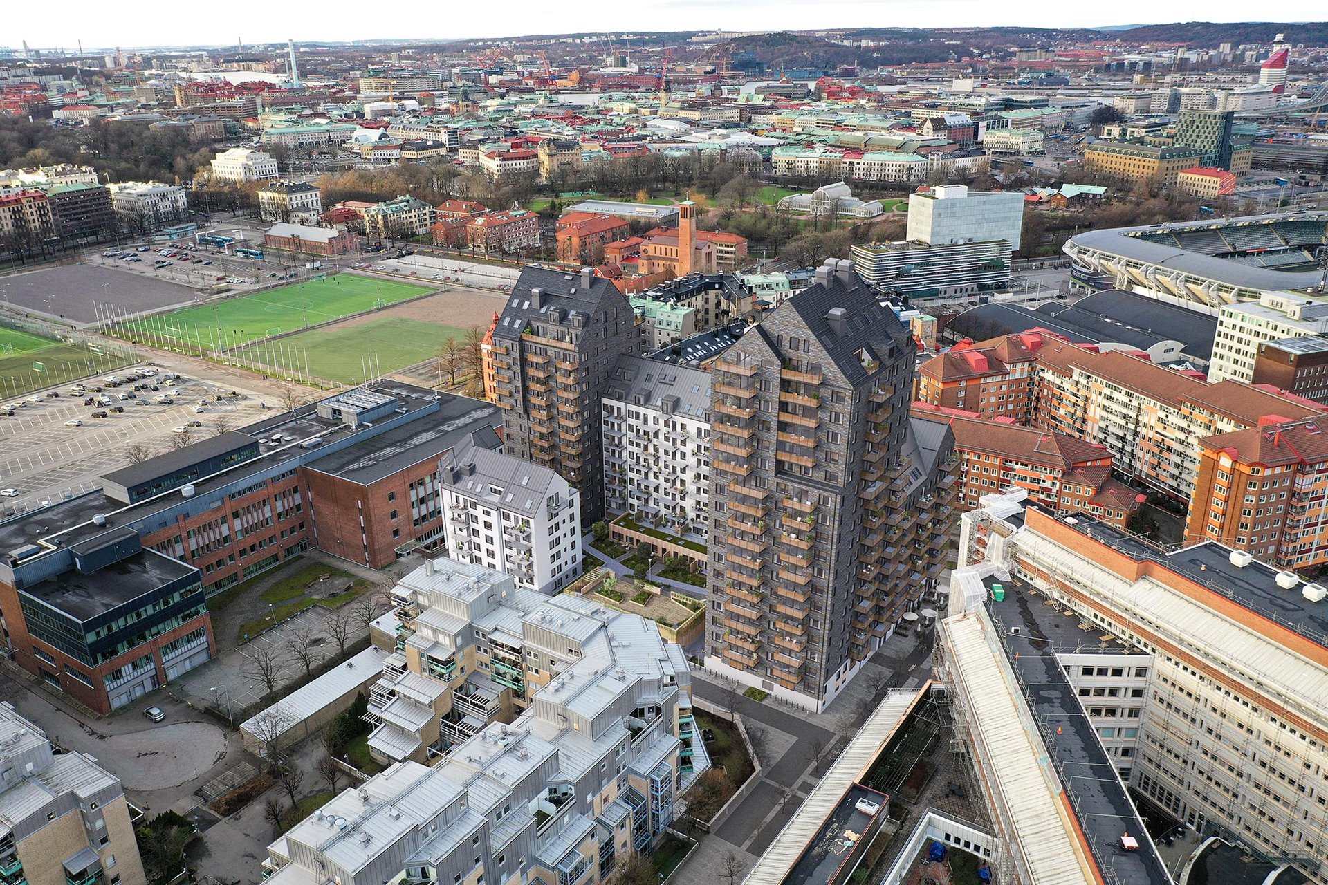
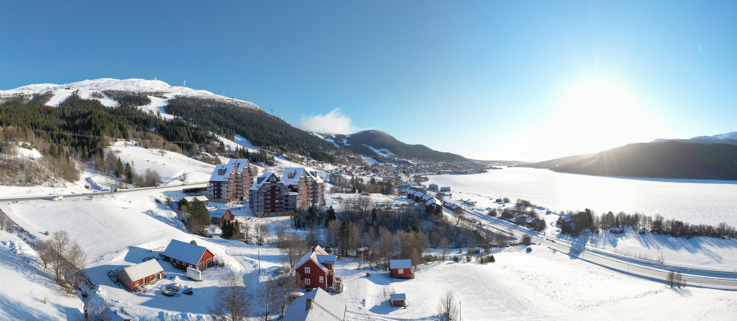
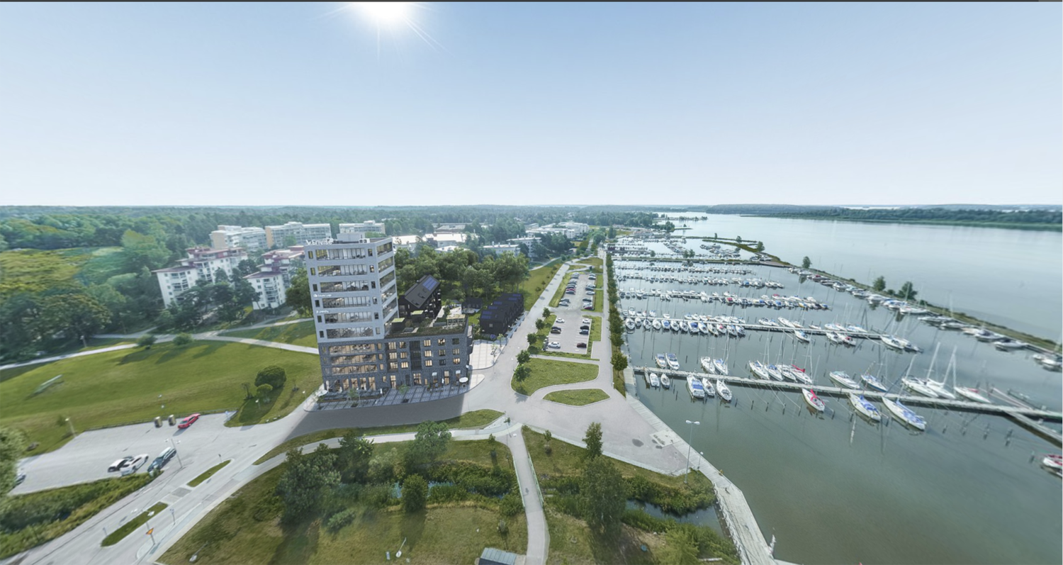
Get better overviews
Overview images are a really good solution for the construction and real estate industry. With drone images, we can offer fast and accurate images of land instructions, construction and real estate projects. The images, where we model and visualize your property, enable you to easily present your project to customers and stakeholders, as well as to easily plan and visualize different options.
More about the solutions
How is the image created?
Overview images are created based on your existing, high-resolution and selling drone photographs of the area. We can also offer mediation of professional photography services.
If you already have drone images or a drone photographer available, we will use them.
How high resolution can it get?
Normally we deliver this in full HD, 1920×1080.
More services & solutions
Complete, for example, with a visualization, for a finished selling image of your project.
Services & Solutions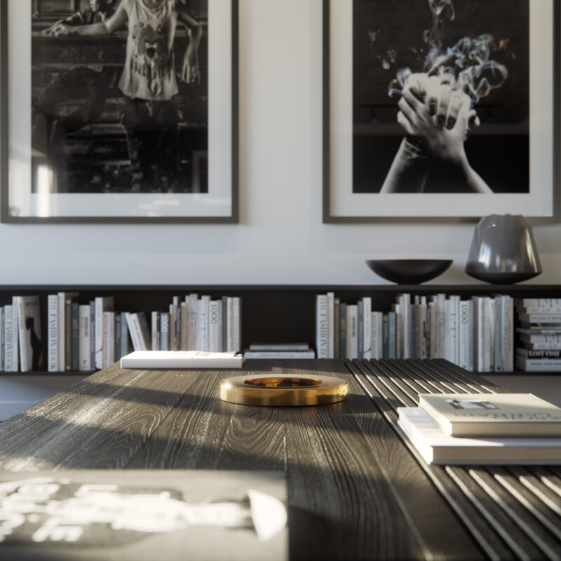
We are here for you!
Let us digitize your real estate project. Contact us today to know more about how we can optimize for you.
Contact us